
Harrison County GIS Layers at a Glance
Two tools anchor the Harrison County GIS hub. One is the Tax Parcel Viewer; the other is the separate 911 Addressing Locator. Behind the scenes, the Assessor ArcGIS service publishes a TaxParcelViewer map. It includes parcel geometry plus supporting layers. That gives property records researchers a way to see where an assessment account sits. They can also inspect individual features and export a view. Pick the layer that fits the question. An old boundary line or a TIF district is not a parcel edge.
| Layer or tool | What appears | Best use |
|---|---|---|
| Parcels | Tax parcel geometry | Locate and select the subject account |
| LandHooks | Map reference geometry | Read mapping context |
| Right Of Ways | Right-of-way context | Check nearby public-way mapping |
| Old Boundary Line | Historic boundary context | Understand older district edges |
| Districts / DistMap | Mapping or tax district context | Cross-check local parcel components |
| TIF Districts / IASData | District geography and assessment table | Review the service’s added data |
| Identify / Find / Export Map | Feature details, search, or map output | Inspect or save a map view |
The Harrison County Assessor ArcGIS service lists a full menu of operations. Identify, Find, QueryLegends, QueryDomains, Export Map, and Return Updates are all there. Queries come back in JSON, GeoJSON, or PPF formats. Record and selection caps sit at 2,000. Most people never call the service directly. Those details simply explain why the same parcel data surfaces in more than one place. The service's own page lays out its layers and operations. That helps separate true parcel geometry from the supporting map context before a line answers a property records question. The layer view comes from the Harrison County Assessor ArcGIS service.
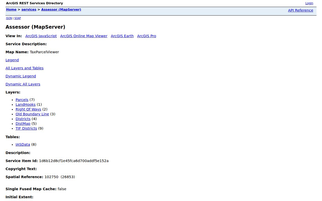
Locate the parcel on the service layers first. Then take the legal question to a deed or plat. The starting point is the Harrison County GIS hub, which links both the Tax Parcel Viewer and the 911 Addressing Locator.
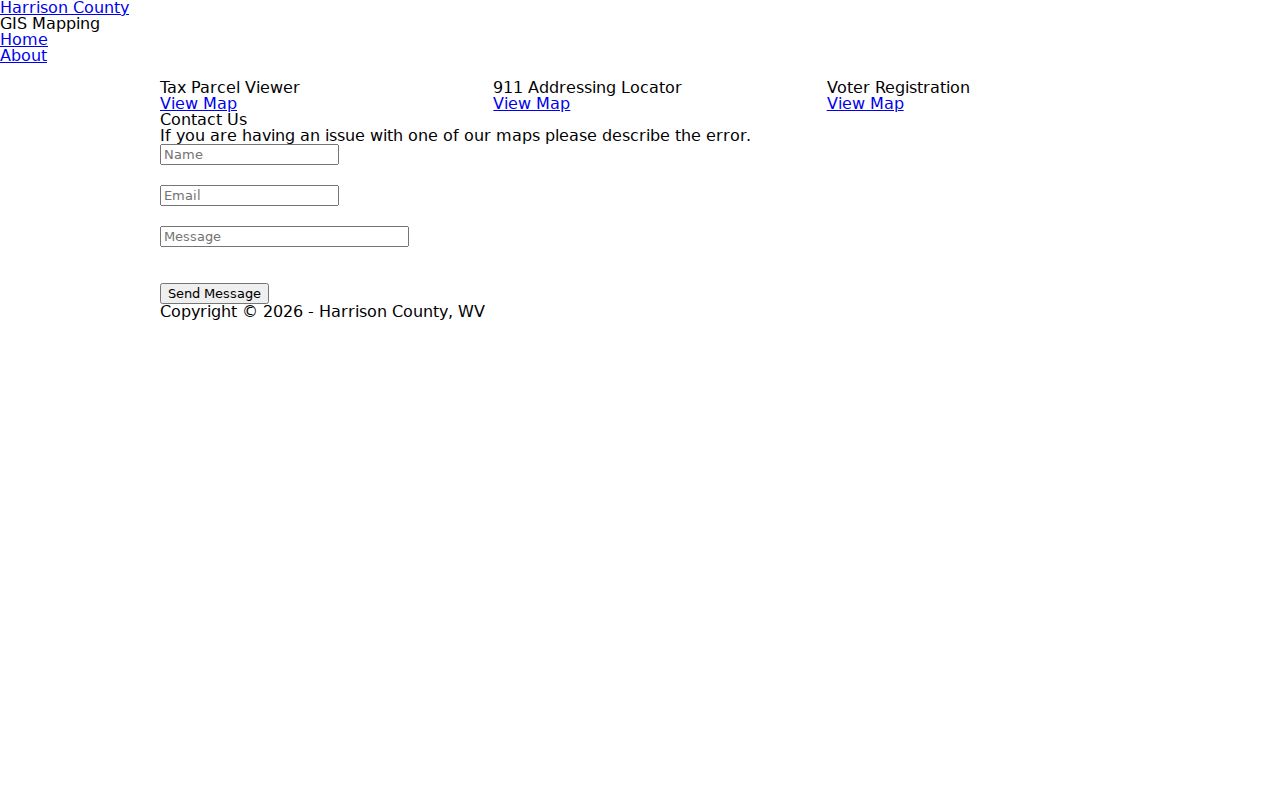
The county hub page makes the split plain: the parcel map and the address locator are separate tools. Note: The hub is the fastest route to the Tax Parcel Viewer and the separate 911 Addressing Locator.
Harrison County Parcel Numbers Have Parts
A Harrison County surface parcel key breaks into parts: district, map, parcel, and suffix. The Assessor's own example is 03 18017100000000. Mineral accounts take a different route and a longer compact number. So the surface format is not a universal property identifier. The statewide assessment search labels its fields Full Parcel ID, Map Number, Parcel, and Sub-Parcel. Carry every component across, including any leading zero. That matters when moving a key from the Assessor into the GIS map. District names carry history. The Clerk's index includes Clark/Clarksburg, Simpson/Bridgeport, Eagle/Lumberport, Elk, Union/West Milford, and other district land books. A modern municipal address can sit inside a district label older than current city lines. Test a match with the GIS map and the deed or plat description. Do not read a district as a municipal boundary. The statewide viewer also lets you select a parcel ID straight from the map. Zoom in when a parcel resists clicking; help material says boundaries appear near 1:18,056. Overlapping parcels may open a popup with a scrollable list of parcel IDs. The state viewer starts with the physical address. A click can reveal a separate mailing address in the property records.
Find a Harrison County Parcel by Address
Start in the GIS hub or the statewide WV Property Viewer. Enter the physical address. Zoom until parcel edges appear. Then click the land matching the structure or legal description. Write down the parcel ID and its district parts. New or stubborn addresses may yield to the 911 Addressing Locator. It is a separate reference, though, and not the tax parcel map. The statewide help page covers Start Over and Export as CSV. The first address shown is physical, not necessarily the mailing address. A completed search can return a query URL. It may also return a total record count, a Property Viewer link, and a CSV file. Save the search date and account key with any export. A map screenshot alone can lose the parcel identifier underneath. The WV Property Viewer documents its parcel identify and export steps. Its help page shows how the viewer presents land and parcel details. The tool is a statewide surface tax-map layer built on county GIS and assessment attributes. Harrison County property records stay the local authority. The WV Property Viewer help page is the source for those instructions.
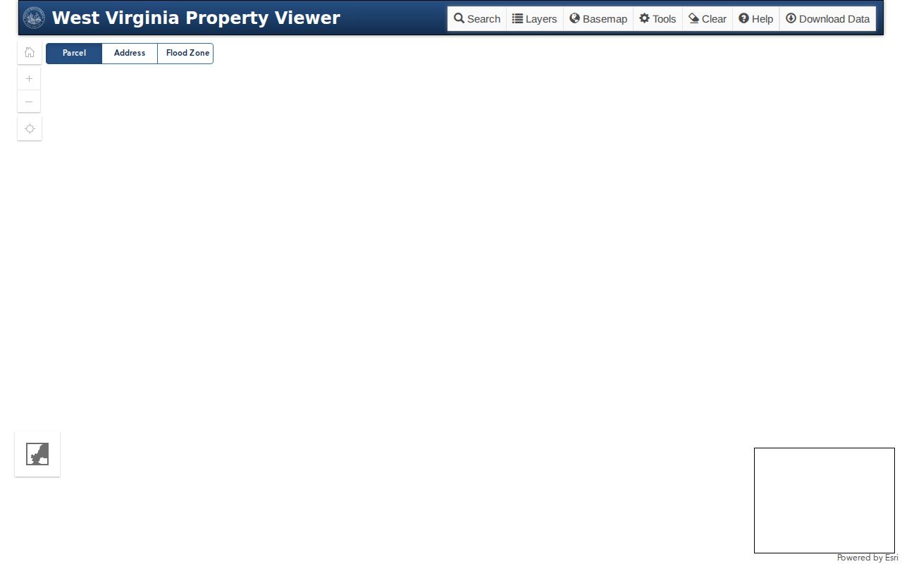
Once the map gives you a parcel ID, use it to link the view back to the Assessor account and the Clerk's recorded instrument.
- Open the county Tax Parcel Viewer or statewide Property Viewer.
- Search the situs address and zoom until the parcel edge can be selected.
- Click the parcel and write down its ID, mailing address, and legal description if shown.
- Compare the map with the Assessor account and a deed or recorded plat.
Harrison County Plats and Survey Books
The Clerk's index covers large and small plat records. It also lists a plat cabinet and a survey book. A plat is the drawing of a subdivision or lot. It carries the lot and block language found in a deed. A survey adds field measurements and calls. Both differ from the tax parcel layer. For an older tract, compare the district book, the plat, and the current parcel together. The modern map does not carry the full chain.
The online book menu reaches further. Road records, Land Books 1796–1910 and 1911–1935, and district books all appear there. A Land Book Index numbered 1–93 is linked from the county Clerk page. The menu does not show shelf locations. Ask the Clerk for a specific book or year when the selector comes up empty.
A subdivision name can steer a search. It does not define a recorded plat boundary, though. Clarksburg labels such as Stealey, North View, Glen Falls, Adamston, downtown, and Quality Hill come from local context. They do not come from plat book and page. Names drift over time. The recorded plat settles the question. Verify the lot through the Clerk's large or small plat index. Do that before treating a neighborhood name as a legal identifier.
Note: A neighborhood label can guide a search, but a recorded plat supplies the lot and block reference.
Bridgeport Permits Meet Harrison County GIS
Bridgeport creates a useful record handoff whenever a new structure goes up. Its floodplain code requires a permit and site plan. That covers development, new construction, substantial improvement, and relocation. The Floodplain Administrator reviews applicable codes and contractor-license proof. Each permit is copied to the County Assessor, and new-structure address requests move through county E-911. A parcel missing from the assessment search may still have a permit or addressing trail behind it.
A watercourse parcel needs more than the map. Compare the city floodplain file, the site plan, the county assessor card, GIS flood context, and the Clerk's deed or plat. The city code keeps floodplain information permanently in a hazard-safe location. The map still shows no permits. A floodplain layer does not guarantee a parcel's risk status either.
The Simpson district label appears in the Clerk's land-book selector. One entry reads "X LAND BOOK – SIMPSON DIST – BRIDGEPORT" from 1996. That is history, not current municipal limits. The map can locate a parcel. The city code office decides which rules apply.
Bridgeport's zoning page posts general guidance and contact details. The city publishes no public permit tracker, so bring the parcel ID and address when asking about a specific permit.
Harrison County Address and Parcel Clues
Three labels describe one property. Situs is the physical location. Mailing address is where notices go. The legal description identifies land by lot, block, subdivision, or metes and bounds. The statewide assessment search accepts Street Name, Mailing Address, Legal Description, Deed Book and Page, Full Parcel ID, Map Number, Parcel, and Sub-Parcel. The local Assessor form uses its district, map, parcel, and suffix split instead.
A city or ZIP name does not prove jurisdiction. A mailing city can reach parcels outside the incorporated area. Postal names, city limits, and parcel lines simply do not match everywhere. Use USPS for a postal check. Use county GIS for the tax parcel and municipal context. The city's code office settles the permit boundary question.
Bridgeport passes permit and address data to the county. Shinnston's code regulates street-address number size and placement. That is why the address on a notice, the number on a building, and the parcel key may not match character for character. Use each label in the system designed for it.
Use Harrison County Maps Around a Parcel
The parcel viewer supports block research. Select a subject parcel, note the nearby parcel IDs, and look each one up separately. There is no buffer button. There is no "select adjacent parcel" tool either. A click on a neighbor returns its record, but the viewer builds no automated adjacency list, and the Harrison County neighbor lookup page covers that parcel-by-parcel route.
For an easement or right-of-way, turn on the layer. Then find the recorded instrument in the Clerk index. For a lot line, check the plat or survey. For ownership, match the parcel ID to the Assessor. A parcel layer shows where the account is drawn, not who occupies the land or whether a fence sits on the line.
Note: Harrison County GIS locates nearby accounts; a surveyor is needed when the exact line is disputed.
What Harrison County Parcel Maps Cannot Prove
A parcel line on a Harrison County tax map exists for assessment and reference. It is not for settling disputes. The line can be generalized. It may be built from older source material, or shown at a scale that hides small gaps. An "Old Boundary Line" layer adds historic flavor. A TIF or district layer describes a different geography entirely. No layer replaces the written deed or plat. None stands in for a licensed surveyor's field check.
Use the GIS map to find the right file. Compare parcels along a road, stream, or subdivision with it, too. When a boundary affects a sale, fence, access right, or building setback, order the recorded plat or survey if one exists. Bring in professional survey help. Harrison County parcel maps are a strong research tool. They are not a legal boundary determination.
Map lines are reference lines. Confirm the deed and plat, and use a licensed surveyor for an exact boundary. A zoomed parcel view does not establish the corners of a property.